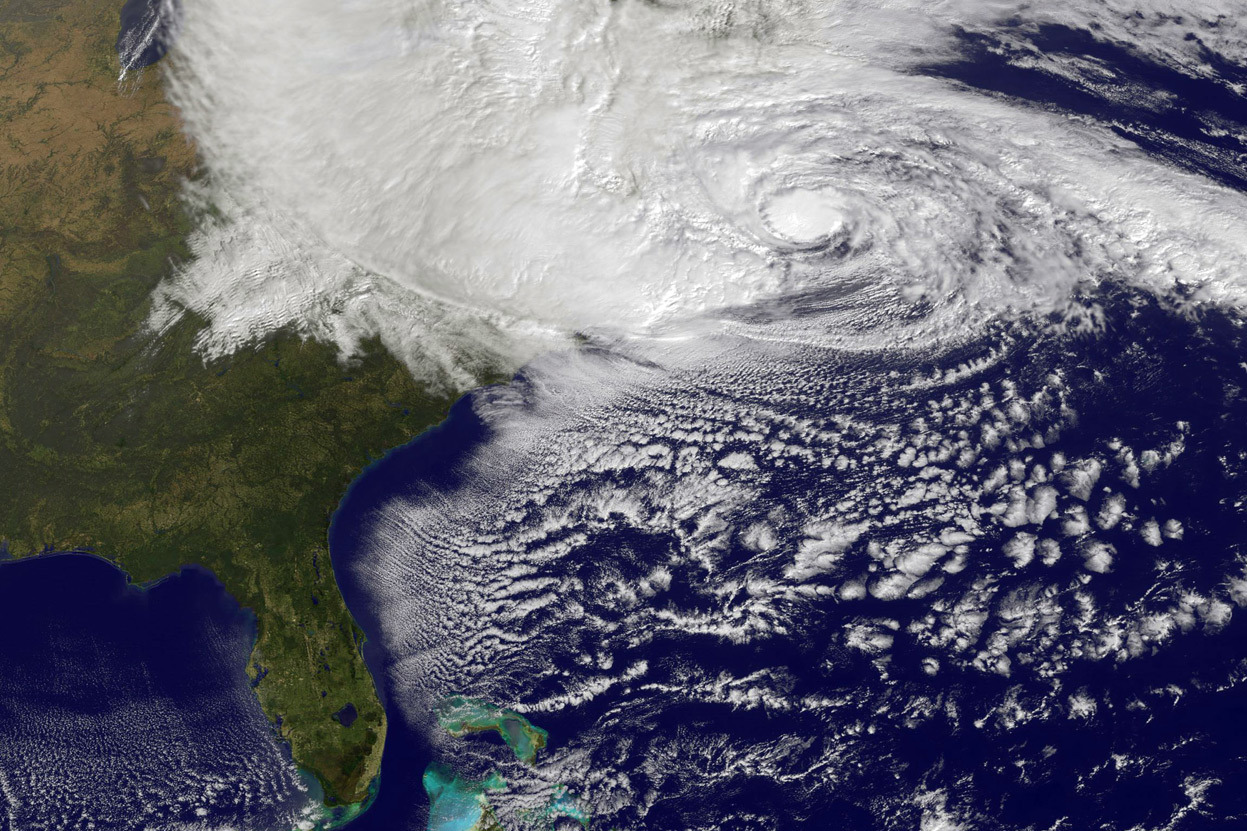
 Government Technology reports that Big Data technology was used very effectively during Superstorm Sandy. A partnership created by FEMA, Geeks Without Bounds, and Splunk4Good conducted an analysis of sensor data, hashtags, Instagram photos, data from evacuation rates, and keywords such as: power, food, fuel, and water. The information was then used to predict the areas where assistance was most needed, and how to react to the disaster in the most efficient manner.
During the storm, FEMA looked at more than 150,000 geo-tagged photos from the Civil Air Patrol to perform assessments and make better decisions.
FEMA Geospatial Information Officer Chris Vaughnan said: “All that big data helped us very quickly come to a very definitive answer on how many people were affected.” “It helped us determine who was exposed and where there were structural damages so we could do a better job of providing assistance to disaster survivors faster than we have ever done before.”
This innovative approach of Big Data is expected to continue to evolve, and gathering actionable data in real time will massively improve response during major disasters and help save lives.
Read the Full Story.


